Driffield YO25
Introduction
The photograph on this page of Driffield YO25 by David Hallam-Jones as part of the Geograph project.
The Geograph project started in 2005 with the aim of publishing, organising and preserving representative images for every square kilometre of Great Britain, Ireland and the Isle of Man.

There are currently over 7.5m images from over 14,400 individuals and you can help contribute to the project by visiting https://www.geograph.org.uk
Driffield YO25
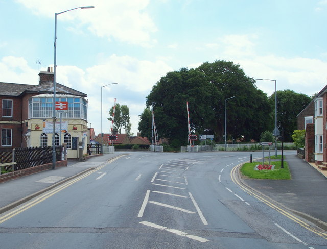
Image: © David Hallam-Jones Taken: 5 Jul 2013
This is one of the last views that individuals leaving for destinations to the south of Driffield see. The photographer has Middle Street South behind him and ahead is where Beverley Road turns to the right as it leaves the town. The restaurant occupying the corner site of the station, with the glazed first floor facility, is currently in a 'closed down' state.
Images are licensed for reuse under creativecommons.org/licenses/by-sa/2.0
Image Location
Latitude
54.001355
Longitude
-0.435282