View from the Saxon Shore Way near Cooling
Introduction
The photograph on this page of View from the Saxon Shore Way near Cooling by Marathon as part of the Geograph project.
The Geograph project started in 2005 with the aim of publishing, organising and preserving representative images for every square kilometre of Great Britain, Ireland and the Isle of Man.

There are currently over 7.5m images from over 14,400 individuals and you can help contribute to the project by visiting https://www.geograph.org.uk
View from the Saxon Shore Way near Cooling
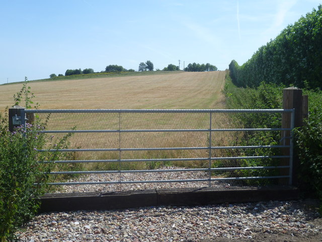
Image: © Marathon Taken: 15 Jul 2013
Here the Saxon Shore Way leaves the busy Main Road to follow a track to Bromhey Farm and then across the RSPB's Northward Hill Nature Reserve.
Images are licensed for reuse under creativecommons.org/licenses/by-sa/2.0
Image Location
Latitude
51.456456
Longitude
0.543092