View from Dudley Port station
Introduction
The photograph on this page of View from Dudley Port station by David Kemp as part of the Geograph project.
The Geograph project started in 2005 with the aim of publishing, organising and preserving representative images for every square kilometre of Great Britain, Ireland and the Isle of Man.

There are currently over 7.5m images from over 14,400 individuals and you can help contribute to the project by visiting https://www.geograph.org.uk
View from Dudley Port station
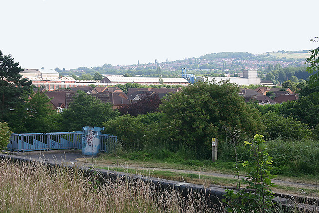
Image: © David Kemp Taken: 13 Jul 2013
Taken looking south. The towpath of the Birmingham Canal can be seen in the foreground. The hills in the background represent the only open country between Dudley and Oldbury.
Images are licensed for reuse under creativecommons.org/licenses/by-sa/2.0
Image Location
Latitude
52.521818
Longitude
-2.048445