Beverley HU17
Introduction
The photograph on this page of Beverley HU17 by David Hallam-Jones as part of the Geograph project.
The Geograph project started in 2005 with the aim of publishing, organising and preserving representative images for every square kilometre of Great Britain, Ireland and the Isle of Man.

There are currently over 7.5m images from over 14,400 individuals and you can help contribute to the project by visiting https://www.geograph.org.uk
Beverley HU17
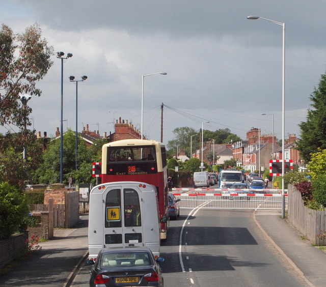
Image: © David Hallam-Jones Taken: 4 Jul 2013
Traffic waiting at the level crossing on the Hornsea and Bridlington side of the A1174 of Beverley, in the suburb of Norwood.
Images are licensed for reuse under creativecommons.org/licenses/by-sa/2.0
Image Location
Latitude
53.850188
Longitude
-0.423443