Of Smoots and Smootings
Introduction
The photograph on this page of Of Smoots and Smootings by Chris as part of the Geograph project.
The Geograph project started in 2005 with the aim of publishing, organising and preserving representative images for every square kilometre of Great Britain, Ireland and the Isle of Man.

There are currently over 7.5m images from over 14,400 individuals and you can help contribute to the project by visiting https://www.geograph.org.uk
Of Smoots and Smootings
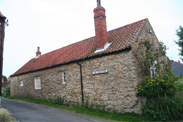
Image: © Chris Taken: 12 Jul 2013
Ancient thoroughfare connecting Front Street in Tealby with Beck Hill. See also Richard Croft's photo of the other end: Image The name "Smoot" comes from the Danish word 'smutte', which means a narrow passage between two houses: see: Image It is also used as a sheep passage through a field wall: see Image
Images are licensed for reuse under creativecommons.org/licenses/by-sa/2.0
Image Location


Leaflet Map data © OpenStreetMap
Latitude
53.399932
Longitude
-0.262495