The Orange Way after Wiltshire (170)
Introduction
The photograph on this page of The Orange Way after Wiltshire (170) by Shazz as part of the Geograph project.
The Geograph project started in 2005 with the aim of publishing, organising and preserving representative images for every square kilometre of Great Britain, Ireland and the Isle of Man.

There are currently over 7.5m images from over 14,400 individuals and you can help contribute to the project by visiting https://www.geograph.org.uk
The Orange Way after Wiltshire (170)
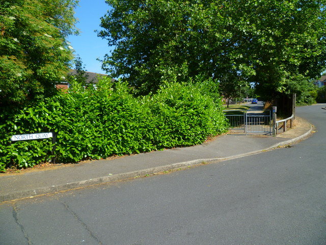
Image: © Shazz Taken: 9 Jul 2013
The way to go is to leave North Quay and go ahead through the barrier.
Images are licensed for reuse under creativecommons.org/licenses/by-sa/2.0
Image Location
Latitude
51.65961
Longitude
-1.283763