Public realm, Leek
Introduction
The photograph on this page of Public realm, Leek by David Weston as part of the Geograph project.
The Geograph project started in 2005 with the aim of publishing, organising and preserving representative images for every square kilometre of Great Britain, Ireland and the Isle of Man.

There are currently over 7.5m images from over 14,400 individuals and you can help contribute to the project by visiting https://www.geograph.org.uk
Public realm, Leek
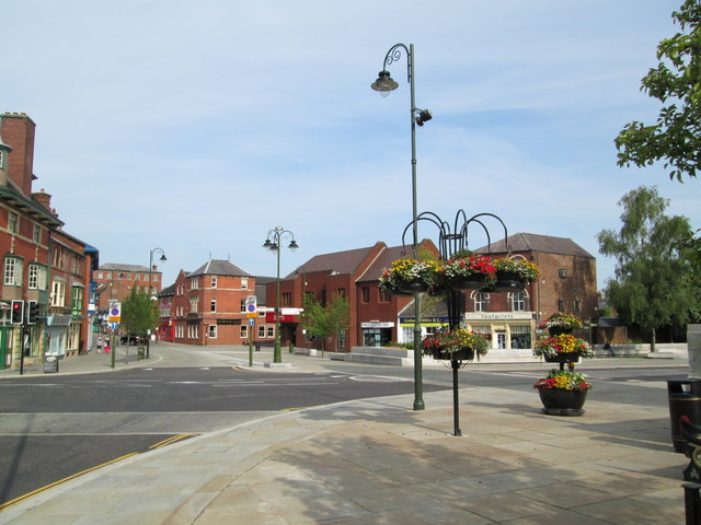
Image: © David Weston Taken: 14 Jul 2013
Leek town centre. Looking towards the eastern end of Derby Street, from the end of Ashbourne Road. The roundabout at this junction was removed, amid some controversy, during 2012; the new arrangement was complete by the end of 2012. This photo shows the new "public realm" where the roundabout was situated.
Images are licensed for reuse under creativecommons.org/licenses/by-sa/2.0
Image Location
Latitude
53.105691
Longitude
-2.021618