Standing stone
Introduction
The photograph on this page of Standing stone by Richard Webb as part of the Geograph project.
The Geograph project started in 2005 with the aim of publishing, organising and preserving representative images for every square kilometre of Great Britain, Ireland and the Isle of Man.

There are currently over 7.5m images from over 14,400 individuals and you can help contribute to the project by visiting https://www.geograph.org.uk
Standing stone
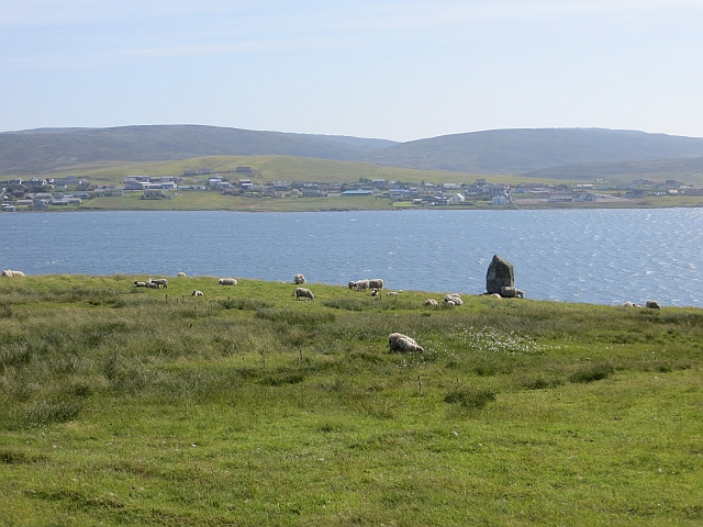
Image: © Richard Webb Taken: 6 Jul 2013
Opposite Brae, just below the Muckle Roe road. The view is over Busta Voe towards Dale Scord above Brae.
Images are licensed for reuse under creativecommons.org/licenses/by-sa/2.0
Image Location
Latitude
60.38894
Longitude
-1.369232