Easterfields turns the corner to Kiln Barn Road
Introduction
The photograph on this page of Easterfields turns the corner to Kiln Barn Road by Marathon as part of the Geograph project.
The Geograph project started in 2005 with the aim of publishing, organising and preserving representative images for every square kilometre of Great Britain, Ireland and the Isle of Man.

There are currently over 7.5m images from over 14,400 individuals and you can help contribute to the project by visiting https://www.geograph.org.uk
Easterfields turns the corner to Kiln Barn Road
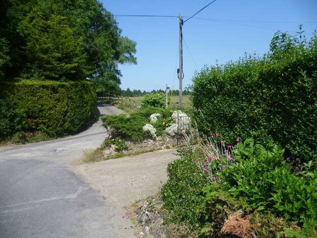
Image: © Marathon Taken: 11 Jul 2013
A byway leads off to the right to Barming and the driveway straight ahead leads to Knoxes Shaw Farm. Easterfields is the road behind and it turns left here to become Kiln Barn Road and pass under the railway on the way to Ditton.
Images are licensed for reuse under creativecommons.org/licenses/by-sa/2.0
Image Location
Latitude
51.281301
Longitude
0.456967