Footpath at East Barming
Introduction
The photograph on this page of Footpath at East Barming by Marathon as part of the Geograph project.
The Geograph project started in 2005 with the aim of publishing, organising and preserving representative images for every square kilometre of Great Britain, Ireland and the Isle of Man.

There are currently over 7.5m images from over 14,400 individuals and you can help contribute to the project by visiting https://www.geograph.org.uk
Footpath at East Barming
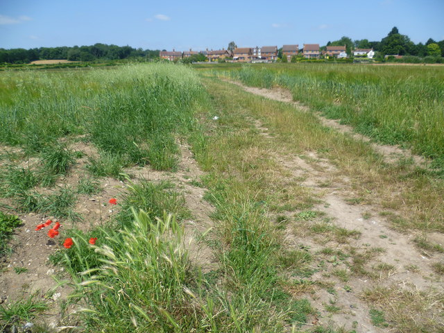
Image: © Marathon Taken: 11 Jul 2013
This footpath leads from Church Lane near East Barming Church across a field to the A26 (Tonbridge Road) where the houses are. These are the first houses in the built-up area of Maidstone on the approach from the west along the A26.
Images are licensed for reuse under creativecommons.org/licenses/by-sa/2.0
Image Location
Latitude
51.262243
Longitude
0.465124