The Orange Way after Wiltshire (130)
Introduction
The photograph on this page of The Orange Way after Wiltshire (130) by Shazz as part of the Geograph project.
The Geograph project started in 2005 with the aim of publishing, organising and preserving representative images for every square kilometre of Great Britain, Ireland and the Isle of Man.

There are currently over 7.5m images from over 14,400 individuals and you can help contribute to the project by visiting https://www.geograph.org.uk
The Orange Way after Wiltshire (130)
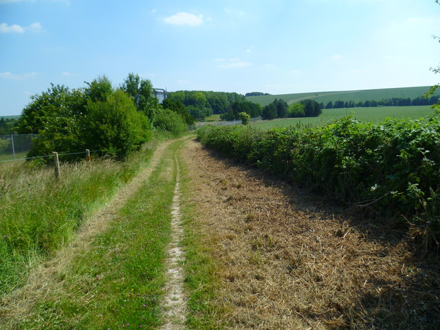
Image: © Shazz Taken: 7 Jul 2013
Here's a look back along Stileway Road. The view extends to the Ridgeway on the skyline. The top of the large building showing above the trees is in the next grid square to the south.
Images are licensed for reuse under creativecommons.org/licenses/by-sa/2.0
Image Location
Latitude
51.57095
Longitude
-1.328731