
Hoghton Tower
Introduction
The photograph on this page of Hoghton Tower by Rude Health as part of the Geograph project.
The Geograph project started in 2005 with the aim of publishing, organising and preserving representative images for every square kilometre of Great Britain, Ireland and the Isle of Man.

There are currently over 7.5m images from over 14,400 individuals and you can help contribute to the project by visiting https://www.geograph.org.uk
Hoghton Tower
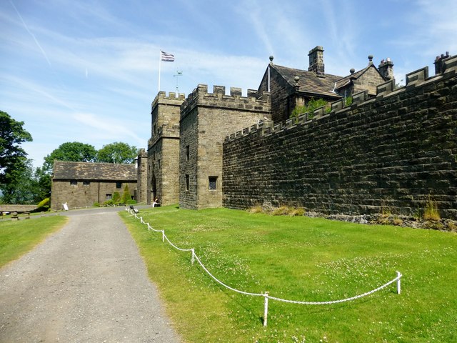
Image: © Rude Health Taken: 14 Jul 2013
Hoghton Tower (pronounced Horton) is a fortified manor house located about 0.7 miles (1 km) to the east of the village of Hoghton, Lancashire, England, and standing on a hilltop site on the highest point in the area. It takes its name from the de Hoghton family, its historical owners since at least the 12th century. The present house dates from about 1560–65. It was damaged during the Civil War and subsequently became derelict, but was rebuilt and extended between 1862 and 1901. The house is listed at Grade I, as is the Great Barn in its grounds, which is dated 1692. Also in the grounds are two structures listed at Grade II. The house and garden are open to the public at advertised times, and are administered by a charitable trust. Name: Hoghton Tower Hill number: 108813 Height: 179m / 587ft Area: 36: Lancashire, Cheshire & the Southern Pennines Class: 1 Grid ref: SD623264 (est) Drop: 69m Col: 110m
Images are licensed for reuse under creativecommons.org/licenses/by-sa/2.0
Image Location

Latitude
53.732615
Longitude
-2.574007