Cupar Road
Introduction
The photograph on this page of Cupar Road by James Allan as part of the Geograph project.
The Geograph project started in 2005 with the aim of publishing, organising and preserving representative images for every square kilometre of Great Britain, Ireland and the Isle of Man.

There are currently over 7.5m images from over 14,400 individuals and you can help contribute to the project by visiting https://www.geograph.org.uk
Cupar Road
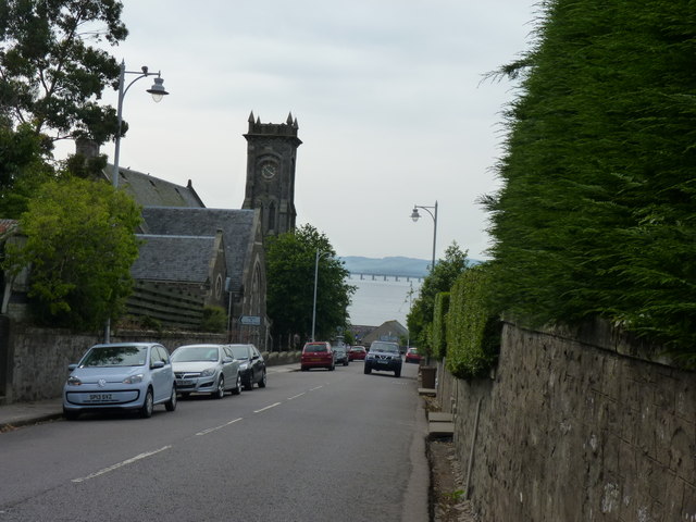
Image: © James Allan Taken: 12 Jul 2013
The tower on the left is of Newport on Tay Parish Church built in 1870, also known as St. Thomas' Chapel of Ease (1870)
Images are licensed for reuse under creativecommons.org/licenses/by-sa/2.0
Image Location
Latitude
56.44007
Longitude
-2.940813