Londonderry
Introduction
The photograph on this page of Londonderry by TIM CHAPMAN as part of the Geograph project.
The Geograph project started in 2005 with the aim of publishing, organising and preserving representative images for every square kilometre of Great Britain, Ireland and the Isle of Man.

There are currently over 7.5m images from over 14,400 individuals and you can help contribute to the project by visiting https://www.geograph.org.uk
Londonderry
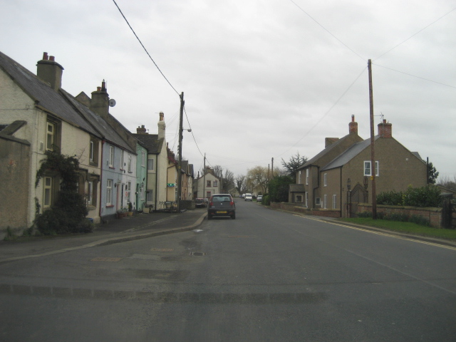
Image: © TIM CHAPMAN Taken: 5 Mar 2007
Londonderry used to straddle the Great North Road until the Leeming by-pass was opened in the early 1960s. Traffic is now much lighter !
Images are licensed for reuse under creativecommons.org/licenses/by-sa/2.0
Image Location
Latitude
54.283323
Longitude
-1.536102