Arable land, County Farm
Introduction
The photograph on this page of Arable land, County Farm by Barbara Carr as part of the Geograph project.
The Geograph project started in 2005 with the aim of publishing, organising and preserving representative images for every square kilometre of Great Britain, Ireland and the Isle of Man.

There are currently over 7.5m images from over 14,400 individuals and you can help contribute to the project by visiting https://www.geograph.org.uk
Arable land, County Farm
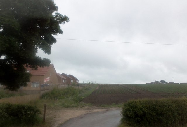
Image: © Barbara Carr Taken: 21 Jun 2013
County Farm is just about visible through the mist, at the top of the hill to the right. I think the housing to the left is relatively new, as the map shows about 100m of farmland to the south of the farm road.
Images are licensed for reuse under creativecommons.org/licenses/by-sa/2.0
Image Location
Latitude
54.101464
Longitude
-0.214029