Castlemaine, Maidstone Road
Introduction
The photograph on this page of Castlemaine, Maidstone Road by John Baker as part of the Geograph project.
The Geograph project started in 2005 with the aim of publishing, organising and preserving representative images for every square kilometre of Great Britain, Ireland and the Isle of Man.

There are currently over 7.5m images from over 14,400 individuals and you can help contribute to the project by visiting https://www.geograph.org.uk
Castlemaine, Maidstone Road
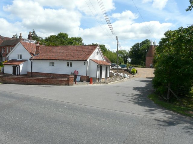
Image: © John Baker Taken: 30 Jun 2013
There were signs that some sort of building work was being undertaken behind this building. I suggest that this relates to Tunbridge Wells Borough Council's planning application 11/02118/FLR - Extension of Time:Works to stable block to include dismantling, reconstruction and restoration to provide single dwelling. Double garage (TW08/02223/FUL refers).
Images are licensed for reuse under creativecommons.org/licenses/by-sa/2.0
Image Location
Latitude
51.156329
Longitude
0.442169