View of the downs from Crundale Church
Introduction
The photograph on this page of View of the downs from Crundale Church by Peter S as part of the Geograph project.
The Geograph project started in 2005 with the aim of publishing, organising and preserving representative images for every square kilometre of Great Britain, Ireland and the Isle of Man.

There are currently over 7.5m images from over 14,400 individuals and you can help contribute to the project by visiting https://www.geograph.org.uk
View of the downs from Crundale Church
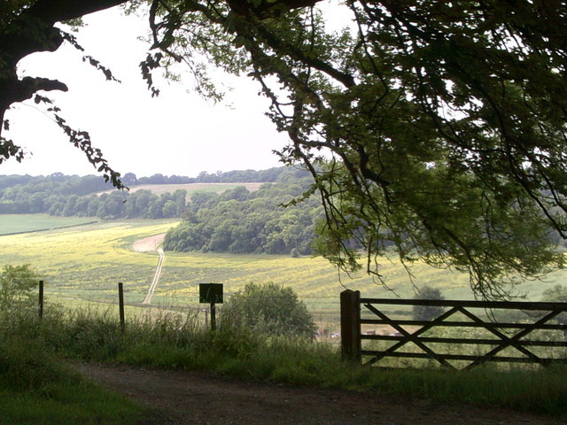
Image: © Peter S Taken: 6 Jul 2013
Crundale Church marks a point where various routes meet including paths and byways.
Images are licensed for reuse under creativecommons.org/licenses/by-sa/2.0
Image Location


Leaflet Map data © OpenStreetMap
Latitude
51.197584
Longitude
0.982311