Eastern parapet of Brunt Acres Road railway bridge
Introduction
The photograph on this page of Eastern parapet of Brunt Acres Road railway bridge by Roger Templeman as part of the Geograph project.
The Geograph project started in 2005 with the aim of publishing, organising and preserving representative images for every square kilometre of Great Britain, Ireland and the Isle of Man.

There are currently over 7.5m images from over 14,400 individuals and you can help contribute to the project by visiting https://www.geograph.org.uk
Eastern parapet of Brunt Acres Road railway bridge
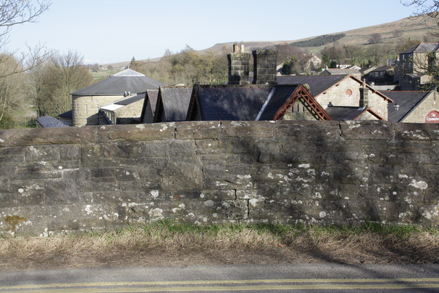
Image: © Roger Templeman Taken: 2 May 2013
There is an OS benchmark Image on a stone on the parapet in the middle of the image. Over the bridge is the former station (now a museum) and a steam engine and coaches on static display Image
Images are licensed for reuse under creativecommons.org/licenses/by-sa/2.0
Image Location
Latitude
54.304819
Longitude
-2.193291