Otterbank Road
Introduction
The photograph on this page of Otterbank Road by Kay Atherton as part of the Geograph project.
The Geograph project started in 2005 with the aim of publishing, organising and preserving representative images for every square kilometre of Great Britain, Ireland and the Isle of Man.

There are currently over 7.5m images from over 14,400 individuals and you can help contribute to the project by visiting https://www.geograph.org.uk
Otterbank Road
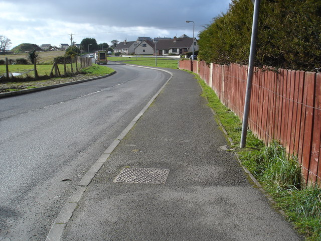
Image: © Kay Atherton Taken: 3 Jan 2007
Otterbank Road runs off Temple Road along the south side of Strathfoyle Estate. The distant houses are just being built.
Images are licensed for reuse under creativecommons.org/licenses/by-sa/2.0
Image Location
Latitude
55.029746
Longitude
-7.273604