Beaconsfield Services, M40
Introduction
The photograph on this page of Beaconsfield Services, M40 by David P Howard as part of the Geograph project.
The Geograph project started in 2005 with the aim of publishing, organising and preserving representative images for every square kilometre of Great Britain, Ireland and the Isle of Man.

There are currently over 7.5m images from over 14,400 individuals and you can help contribute to the project by visiting https://www.geograph.org.uk
Beaconsfield Services, M40
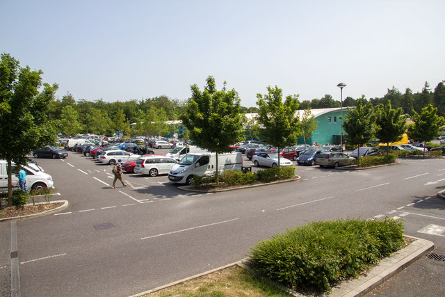
Image: © David P Howard Taken: 12 Jul 2013
View ESE towards the main services building, from a bank at the edge of the car park.
Images are licensed for reuse under creativecommons.org/licenses/by-sa/2.0
Image Location
Latitude
51.587964
Longitude
-0.628263