Cottages and access road to Hill Top Farm, Moor Road
Introduction
The photograph on this page of Cottages and access road to Hill Top Farm, Moor Road by Roger Templeman as part of the Geograph project.
The Geograph project started in 2005 with the aim of publishing, organising and preserving representative images for every square kilometre of Great Britain, Ireland and the Isle of Man.

There are currently over 7.5m images from over 14,400 individuals and you can help contribute to the project by visiting https://www.geograph.org.uk
Cottages and access road to Hill Top Farm, Moor Road
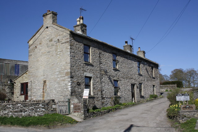
Image: © Roger Templeman Taken: 2 May 2013
The near cottage is West Cottage. Old maps of 1893 and 1981 show a benchmark at the left hand side of the access road, presumably on a stone gatepost which has been lost to farm access road widening. Ordnance Survey records indicate that a mark levelled at 225.308m above Newlyn Datum was verified in 1954 on a gatepost 2.1m from the house corner
Images are licensed for reuse under creativecommons.org/licenses/by-sa/2.0
Image Location
Latitude
54.313131
Longitude
-1.835499