Unsuitable for drinking, Rockfield
Introduction
The photograph on this page of Unsuitable for drinking, Rockfield by Jaggery as part of the Geograph project.
The Geograph project started in 2005 with the aim of publishing, organising and preserving representative images for every square kilometre of Great Britain, Ireland and the Isle of Man.

There are currently over 7.5m images from over 14,400 individuals and you can help contribute to the project by visiting https://www.geograph.org.uk
Unsuitable for drinking, Rockfield
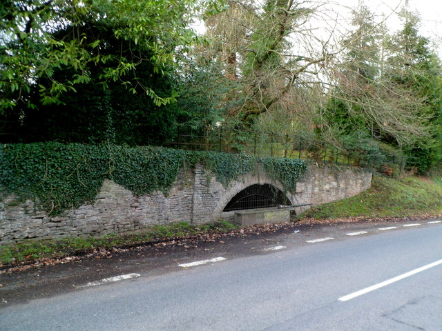
Image: © Jaggery Taken: 22 Jan 2012
The trough is located near the village green. http://www.geograph.org.uk/photo/3551578 A Monmouth District Council notice on the wall states THIS WATER SUPPLY IS UNSUITABLE FOR DRINKING IN ITS NATURAL STATE.
Images are licensed for reuse under creativecommons.org/licenses/by-sa/2.0
Image Location
Latitude
51.827349
Longitude
-2.750578