Bird's-Eye View of Dalblair Road
Introduction
The photograph on this page of Bird's-Eye View of Dalblair Road by Mary and Angus Hogg as part of the Geograph project.
The Geograph project started in 2005 with the aim of publishing, organising and preserving representative images for every square kilometre of Great Britain, Ireland and the Isle of Man.

There are currently over 7.5m images from over 14,400 individuals and you can help contribute to the project by visiting https://www.geograph.org.uk
Bird's-Eye View of Dalblair Road
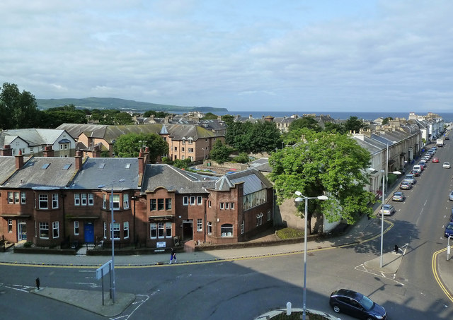
Image: © Mary and Angus Hogg Taken: 5 Jul 2013
Looking down at the junction of Dalblair Road and Barns Street on a fine early-July morning. The Heads of Ayr promontory is visible on the skyline, on the left.
Images are licensed for reuse under creativecommons.org/licenses/by-sa/2.0
Image Location
Latitude
55.460332
Longitude
-4.632666