Waterloo Road
Introduction
The photograph on this page of Waterloo Road by Gerald England as part of the Geograph project.
The Geograph project started in 2005 with the aim of publishing, organising and preserving representative images for every square kilometre of Great Britain, Ireland and the Isle of Man.

There are currently over 7.5m images from over 14,400 individuals and you can help contribute to the project by visiting https://www.geograph.org.uk
Waterloo Road
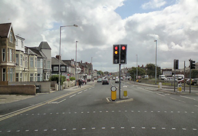
Image: © Gerald England Taken: 24 Jun 2013
The A5073 from Blackpool South Shore. At these traffic lights by Blackpool South Station is a right turn leading to Yeadon Way, a direct link towards the end of the M55 on a high level route following a former disused railway line. Note the photographer was a passenger in a stationary vehicle.
Images are licensed for reuse under creativecommons.org/licenses/by-sa/2.0
Image Location


Leaflet Map data © OpenStreetMap
Latitude
53.79898
Longitude
-3.0477