Earlsfield: The 'Wandle' (public house)
Introduction
The photograph on this page of Earlsfield: The 'Wandle' (public house) by Dr Neil Clifton as part of the Geograph project.
The Geograph project started in 2005 with the aim of publishing, organising and preserving representative images for every square kilometre of Great Britain, Ireland and the Isle of Man.

There are currently over 7.5m images from over 14,400 individuals and you can help contribute to the project by visiting https://www.geograph.org.uk
Earlsfield: The 'Wandle' (public house)
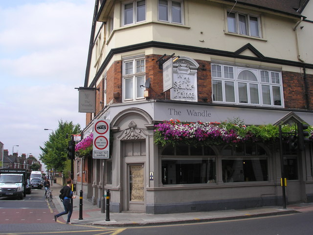
Image: © Dr Neil Clifton Taken: 12 Jul 2013
On the west side of Garratt Lane at the end of Penwith Road. The eponymous river is only about 200 yards away. Judging by the moulding still visible on the wall, the pub. was formerly the 'Sailor Prince'.
Images are licensed for reuse under creativecommons.org/licenses/by-sa/2.0
Image Location
Latitude
51.442717
Longitude
-0.189139