A30 between the two arms of Nower's Copse
Introduction
The photograph on this page of A30 between the two arms of Nower's Copse by David Smith as part of the Geograph project.
The Geograph project started in 2005 with the aim of publishing, organising and preserving representative images for every square kilometre of Great Britain, Ireland and the Isle of Man.

There are currently over 7.5m images from over 14,400 individuals and you can help contribute to the project by visiting https://www.geograph.org.uk
A30 between the two arms of Nower's Copse
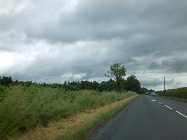
Image: © David Smith Taken: 22 Jun 2013
The copse splits into two arms with fields in between them and the A30. The A30 provides a boundary to the arms of the copse
Images are licensed for reuse under creativecommons.org/licenses/by-sa/2.0
Image Location


Leaflet Map data © OpenStreetMap
Latitude
51.022089
Longitude
-2.087491