Chorley Street and Wellington Mill, Leek
Introduction
The photograph on this page of Chorley Street and Wellington Mill, Leek by David Weston as part of the Geograph project.
The Geograph project started in 2005 with the aim of publishing, organising and preserving representative images for every square kilometre of Great Britain, Ireland and the Isle of Man.

There are currently over 7.5m images from over 14,400 individuals and you can help contribute to the project by visiting https://www.geograph.org.uk
Chorley Street and Wellington Mill, Leek
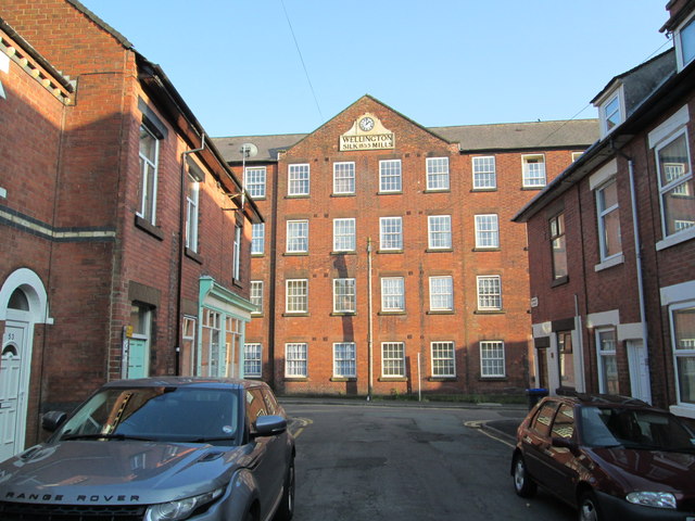
Image: © David Weston Taken: 11 Jul 2013
West of the town centre. Looking south along Chorley Street towards the junction with Strangman Street, and Wellington Mill (in the summer evening sun), which a few years ago was converted into flats. The sign on the building reads "Wellington Silk Mills 1853".
Images are licensed for reuse under creativecommons.org/licenses/by-sa/2.0
Image Location
Latitude
53.1047
Longitude
-2.029832