A68 reaching Rowley from the south.
Introduction
The photograph on this page of A68 reaching Rowley from the south. by Trevor Littlewood as part of the Geograph project.
The Geograph project started in 2005 with the aim of publishing, organising and preserving representative images for every square kilometre of Great Britain, Ireland and the Isle of Man.

There are currently over 7.5m images from over 14,400 individuals and you can help contribute to the project by visiting https://www.geograph.org.uk
A68 reaching Rowley from the south.
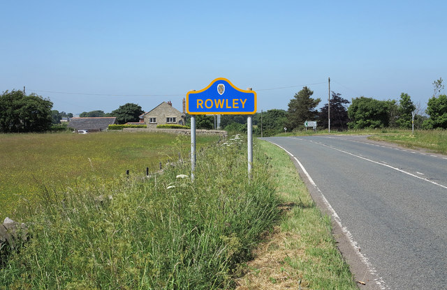
Image: © Trevor Littlewood Taken: 11 Jul 2013
Rowley is a location in County Durham - hardly a village - with just a few houses and a church. There was a railway station here; upon the closure of the line the station was dismantled and rebuilt at the nearby Beamish Open Air Museum; the rail route is now a path and cycle way. The style of the yellow and blue road sign is typical of many in County Durham.
Images are licensed for reuse under creativecommons.org/licenses/by-sa/2.0
Image Location
Latitude
54.823167
Longitude
-1.863318