Houses and fields at Llanstadwell
Introduction
The photograph on this page of Houses and fields at Llanstadwell by Jonathan Billinger as part of the Geograph project.
The Geograph project started in 2005 with the aim of publishing, organising and preserving representative images for every square kilometre of Great Britain, Ireland and the Isle of Man.

There are currently over 7.5m images from over 14,400 individuals and you can help contribute to the project by visiting https://www.geograph.org.uk
Houses and fields at Llanstadwell
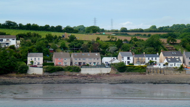
Image: © Jonathan Billinger Taken: 28 Jun 2013
Vegetable harvesting is taking place beyond the coastal strip. Viewed from the outgoing Irish Ferries Pembroke to Rosslare sailing.
Images are licensed for reuse under creativecommons.org/licenses/by-sa/2.0
Image Location
Latitude
51.707055
Longitude
-4.959022