Track along the former Lidgett Incline
Introduction
The photograph on this page of Track along the former Lidgett Incline by Alan Murray-Rust as part of the Geograph project.
The Geograph project started in 2005 with the aim of publishing, organising and preserving representative images for every square kilometre of Great Britain, Ireland and the Isle of Man.

There are currently over 7.5m images from over 14,400 individuals and you can help contribute to the project by visiting https://www.geograph.org.uk
Track along the former Lidgett Incline
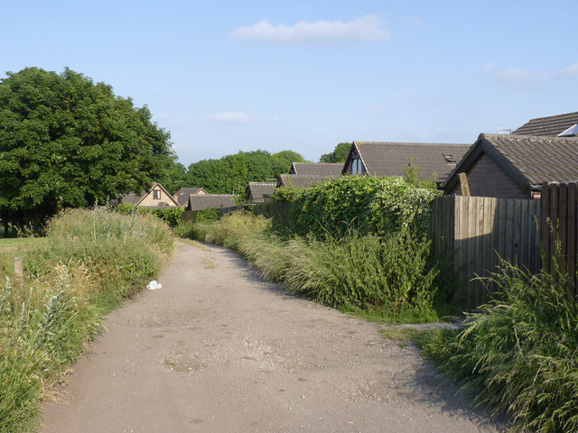
Image: © Alan Murray-Rust Taken: 8 Jul 2013
This carried a tramroad which served both the Milton Ironworks and later Lidgett Colliery http://www.irsociety.co.uk/Archives/54/Lidgett.htm
Images are licensed for reuse under creativecommons.org/licenses/by-sa/2.0
Image Location
Latitude
53.496
Longitude
-1.435599