Overgrown footpath
Introduction
The photograph on this page of Overgrown footpath by Alan Murray-Rust as part of the Geograph project.
The Geograph project started in 2005 with the aim of publishing, organising and preserving representative images for every square kilometre of Great Britain, Ireland and the Isle of Man.

There are currently over 7.5m images from over 14,400 individuals and you can help contribute to the project by visiting https://www.geograph.org.uk
Overgrown footpath
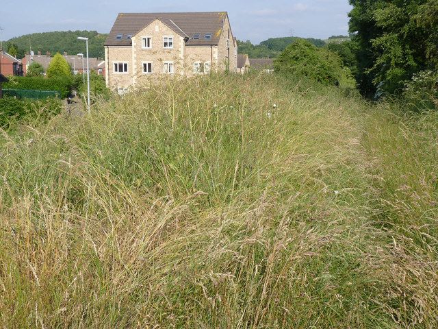
Image: © Alan Murray-Rust Taken: 8 Jul 2013
The straight alignment of the footpath to the right of the picture is the result of it following the line of the old incline. Most people now probably use the new footpaths through the housing estate, marked by the lighting columns.
Images are licensed for reuse under creativecommons.org/licenses/by-sa/2.0
Image Location
Latitude
53.501681
Longitude
-1.420599