Site of railway sidings
Introduction
The photograph on this page of Site of railway sidings by Alan Murray-Rust as part of the Geograph project.
The Geograph project started in 2005 with the aim of publishing, organising and preserving representative images for every square kilometre of Great Britain, Ireland and the Isle of Man.

There are currently over 7.5m images from over 14,400 individuals and you can help contribute to the project by visiting https://www.geograph.org.uk
Site of railway sidings
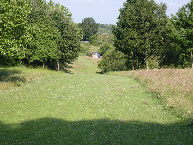
Image: © Alan Murray-Rust Taken: 8 Jul 2013
The mown area of grass indicates roughly the line of the connection between the Midland railway line and the incline. The connection was on an embankment which has been completely removed and re-landscaped.
Images are licensed for reuse under creativecommons.org/licenses/by-sa/2.0
Image Location
Latitude
53.503061
Longitude
-1.427214