Midland Railway Chapeltown Extension Railway
Introduction
The photograph on this page of Midland Railway Chapeltown Extension Railway by Alan Murray-Rust as part of the Geograph project.
The Geograph project started in 2005 with the aim of publishing, organising and preserving representative images for every square kilometre of Great Britain, Ireland and the Isle of Man.

There are currently over 7.5m images from over 14,400 individuals and you can help contribute to the project by visiting https://www.geograph.org.uk
Midland Railway Chapeltown Extension Railway
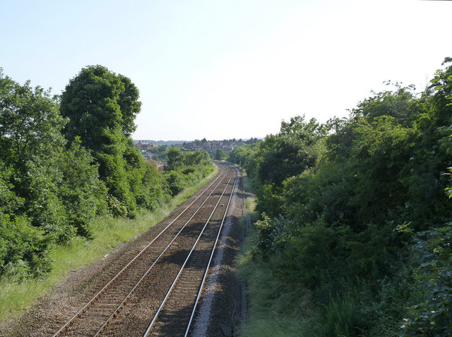
Image: © Alan Murray-Rust Taken: 8 Jul 2013
Looking south from the bridge carrying the lane to Low Farm. The line was built as late as 1893-95 to tap the expanding coal industry in the Barnsley area.
Images are licensed for reuse under creativecommons.org/licenses/by-sa/2.0
Image Location
Latitude
53.50545
Longitude
-1.419341