Low Farm
Introduction
The photograph on this page of Low Farm by Alan Murray-Rust as part of the Geograph project.
The Geograph project started in 2005 with the aim of publishing, organising and preserving representative images for every square kilometre of Great Britain, Ireland and the Isle of Man.

There are currently over 7.5m images from over 14,400 individuals and you can help contribute to the project by visiting https://www.geograph.org.uk
Low Farm
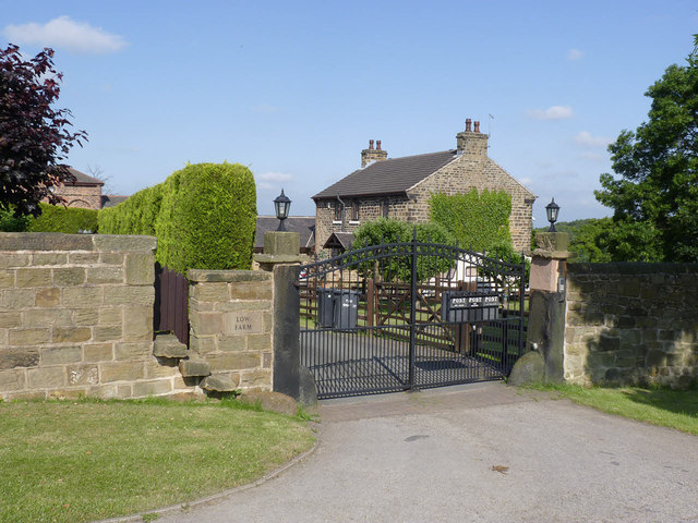
Image: © Alan Murray-Rust Taken: 8 Jul 2013
Shown as Hemingfield Farm on the 1:25000 map. The farm outbuildings have all been converted to residential use.
Images are licensed for reuse under creativecommons.org/licenses/by-sa/2.0
Image Location
Latitude
53.505892
Longitude
-1.417828