Stile near Low Farm
Introduction
The photograph on this page of Stile near Low Farm by Alan Murray-Rust as part of the Geograph project.
The Geograph project started in 2005 with the aim of publishing, organising and preserving representative images for every square kilometre of Great Britain, Ireland and the Isle of Man.

There are currently over 7.5m images from over 14,400 individuals and you can help contribute to the project by visiting https://www.geograph.org.uk
Stile near Low Farm
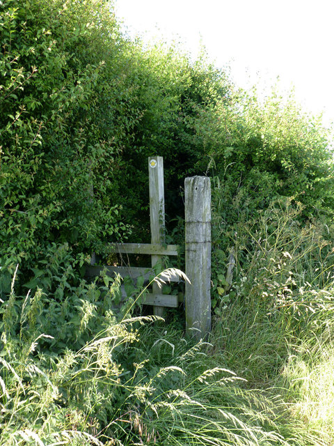
Image: © Alan Murray-Rust Taken: 8 Jul 2013
The footpath beyond the stile is clearly only used occasionally - it is nearly overgrown with nettles, brambles and other less tiresome plants! Given the current state of the footpath behind the photographer http://www.geograph.org.uk/photo/3549914 and the existence of an easier alternative to the west of Low Farm, the lack of use is hardly surprising!
Images are licensed for reuse under creativecommons.org/licenses/by-sa/2.0
Image Location
Latitude
53.505708
Longitude
-1.417076