School Street, Hemingfield
Introduction
The photograph on this page of School Street, Hemingfield by Alan Murray-Rust as part of the Geograph project.
The Geograph project started in 2005 with the aim of publishing, organising and preserving representative images for every square kilometre of Great Britain, Ireland and the Isle of Man.

There are currently over 7.5m images from over 14,400 individuals and you can help contribute to the project by visiting https://www.geograph.org.uk
School Street, Hemingfield
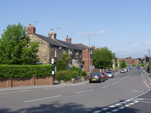
Image: © Alan Murray-Rust Taken: 8 Jul 2013
The main street of the original village, with a pair of stone built cottages which would probably have housed agricultural workers.
Images are licensed for reuse under creativecommons.org/licenses/by-sa/2.0
Image Location
Latitude
53.508727
Longitude
-1.409345