The crossroads at Sundridge
Introduction
The photograph on this page of The crossroads at Sundridge by Marathon as part of the Geograph project.
The Geograph project started in 2005 with the aim of publishing, organising and preserving representative images for every square kilometre of Great Britain, Ireland and the Isle of Man.

There are currently over 7.5m images from over 14,400 individuals and you can help contribute to the project by visiting https://www.geograph.org.uk
The crossroads at Sundridge
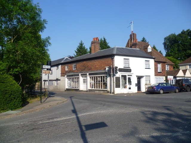
Image: © Marathon Taken: 7 Jul 2013
This view is from Chevening Road where it crosses the busy Main Street (A25) to reach Church Road on the far side. There are traffic lights controlling the crossroads but it is still difficult to obtain a photograph at this spot without cars.
Images are licensed for reuse under creativecommons.org/licenses/by-sa/2.0
Image Location
Latitude
51.278129
Longitude
0.127571