The River Pinn at Ickenham
Introduction
The photograph on this page of The River Pinn at Ickenham by Rod Allday as part of the Geograph project.
The Geograph project started in 2005 with the aim of publishing, organising and preserving representative images for every square kilometre of Great Britain, Ireland and the Isle of Man.

There are currently over 7.5m images from over 14,400 individuals and you can help contribute to the project by visiting https://www.geograph.org.uk
The River Pinn at Ickenham
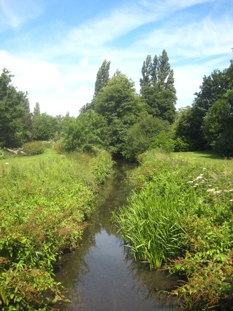
Image: © Rod Allday Taken: 30 Jun 2013
Viewed from the bridge in Swakeleys Road. The Pinn rises in what is now Ruislip Lido and joins the River Colne at Uxbridge.
Images are licensed for reuse under creativecommons.org/licenses/by-sa/2.0
Image Location
Latitude
51.565639
Longitude
-0.45277