Fosse Way
Introduction
The photograph on this page of Fosse Way by Richard Croft as part of the Geograph project.
The Geograph project started in 2005 with the aim of publishing, organising and preserving representative images for every square kilometre of Great Britain, Ireland and the Isle of Man.

There are currently over 7.5m images from over 14,400 individuals and you can help contribute to the project by visiting https://www.geograph.org.uk
Fosse Way
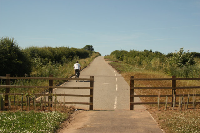
Image: © Richard Croft Taken: 9 Jul 2013
The old A46 Fosse Way ascending from Bingham towards Foss Farm on the line of the Roman Road. Sections of the old road have been preserved and will eventually become part of the planned Sustrans 'Fosse 2' long-distance cycle route between Exeter and Lincoln
Images are licensed for reuse under creativecommons.org/licenses/by-sa/2.0
Image Location
Latitude
52.948146
Longitude
-0.980191