Disused buildings, Carreg-Afon
Introduction
The photograph on this page of Disused buildings, Carreg-Afon by Jonathan Wilkins as part of the Geograph project.
The Geograph project started in 2005 with the aim of publishing, organising and preserving representative images for every square kilometre of Great Britain, Ireland and the Isle of Man.

There are currently over 7.5m images from over 14,400 individuals and you can help contribute to the project by visiting https://www.geograph.org.uk
Disused buildings, Carreg-Afon
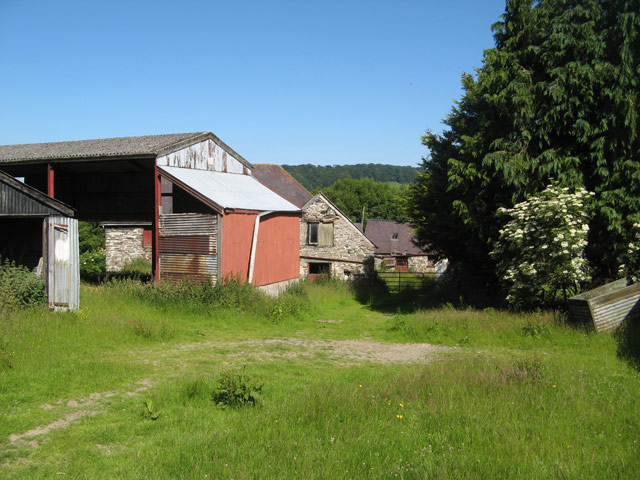
Image: © Jonathan Wilkins Taken: 7 Jul 2013
All quiet in the farmyard, which is sad to see, though the fields are still occupied and well-tended. The bridleway runs through here on its way from the main road to the edge of Carrog Plantation.
Images are licensed for reuse under creativecommons.org/licenses/by-sa/2.0
Image Location
Latitude
52.978721
Longitude
-3.319665