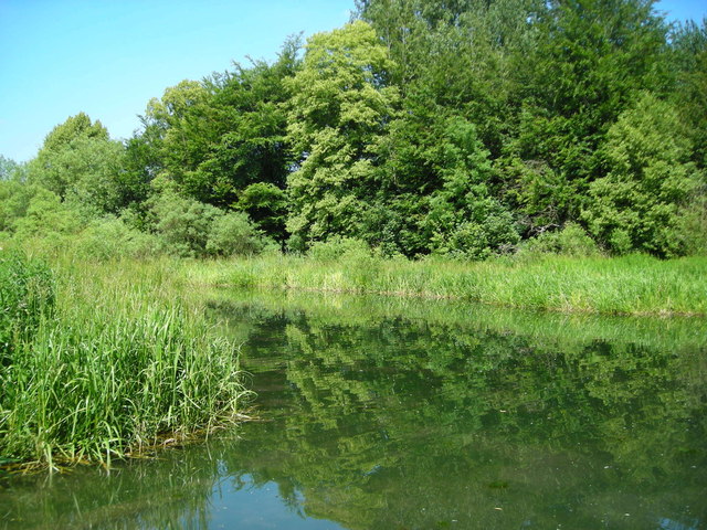
The Wides - Wendover Arm
Introduction
The photograph on this page of The Wides - Wendover Arm by Mark Percy as part of the Geograph project.
The Geograph project started in 2005 with the aim of publishing, organising and preserving representative images for every square kilometre of Great Britain, Ireland and the Isle of Man.
There are currently over 7.5m images from over 14,400 individuals and you can help contribute to the project by visiting https://www.geograph.org.uk

Image: © Mark Percy Taken: 7 Jul 2013
The Wides is one of the few remaining wetlands crossed by the Wendover Arm canal. Streams flowed through the marshy grassland of Halton Moor to join the Wendover Stream and eventually the River Thame. It was here, in 1824, that two young women (one soon to be married) were drowned when their punt sank.

