Rocky bed of a dried-up gully south of Tredegar
Introduction
The photograph on this page of Rocky bed of a dried-up gully south of Tredegar by Jaggery as part of the Geograph project.
The Geograph project started in 2005 with the aim of publishing, organising and preserving representative images for every square kilometre of Great Britain, Ireland and the Isle of Man.

There are currently over 7.5m images from over 14,400 individuals and you can help contribute to the project by visiting https://www.geograph.org.uk
Rocky bed of a dried-up gully south of Tredegar
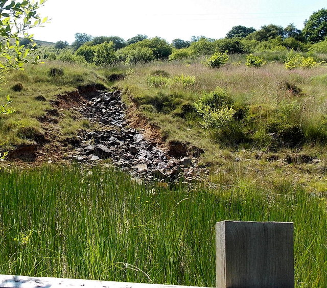
Image: © Jaggery Taken: 6 Jul 2013
Viewed from the A4048. The gully has dried up in early July.
Images are licensed for reuse under creativecommons.org/licenses/by-sa/2.0
Image Location
Latitude
51.751733
Longitude
-3.230569