Minor road to Hownam
Introduction
The photograph on this page of Minor road to Hownam by Jim Barton as part of the Geograph project.
The Geograph project started in 2005 with the aim of publishing, organising and preserving representative images for every square kilometre of Great Britain, Ireland and the Isle of Man.

There are currently over 7.5m images from over 14,400 individuals and you can help contribute to the project by visiting https://www.geograph.org.uk
Minor road to Hownam
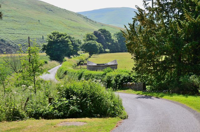
Image: © Jim Barton Taken: 8 Jul 2013
The road crosses a low ridge from Morebattle to the Kale Water. Grubbit Law is on the left with slopes leading up the Hownam Law beyond.
Images are licensed for reuse under creativecommons.org/licenses/by-sa/2.0
Image Location
Latitude
55.510966
Longitude
-2.352757