National Cycle Route 7 at Buchan
Introduction
The photograph on this page of National Cycle Route 7 at Buchan by Alan O'Dowd as part of the Geograph project.
The Geograph project started in 2005 with the aim of publishing, organising and preserving representative images for every square kilometre of Great Britain, Ireland and the Isle of Man.

There are currently over 7.5m images from over 14,400 individuals and you can help contribute to the project by visiting https://www.geograph.org.uk
National Cycle Route 7 at Buchan
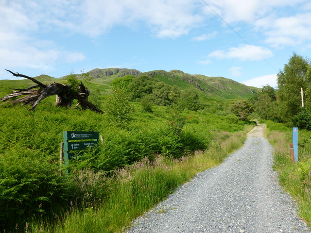
Image: © Alan O'Dowd Taken: 6 Jul 2013
The gnarled and split old tree is a landmark on the way to where the path to the Gairland Burn leaves the main track.
Images are licensed for reuse under creativecommons.org/licenses/by-sa/2.0
Image Location
Latitude
55.092923
Longitude
-4.47977