A port of London radar and radio mast
Introduction
The photograph on this page of A port of London radar and radio mast by Tony Peacock as part of the Geograph project.
The Geograph project started in 2005 with the aim of publishing, organising and preserving representative images for every square kilometre of Great Britain, Ireland and the Isle of Man.

There are currently over 7.5m images from over 14,400 individuals and you can help contribute to the project by visiting https://www.geograph.org.uk
A port of London radar and radio mast
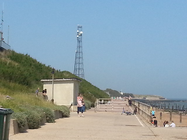
Image: © Tony Peacock Taken: 7 Jul 2013
2.5 miles SW of Frinton at the NE end of Holland Haven is the 60 metre high radar mast standing as both a coastal landmark and reference point for North Sea navigation
Images are licensed for reuse under creativecommons.org/licenses/by-sa/2.0
Image Location
Latitude
51.808906
Longitude
1.214768