Green Bridleway Near Longridge
Introduction
The photograph on this page of Green Bridleway Near Longridge by Rude Health as part of the Geograph project.
The Geograph project started in 2005 with the aim of publishing, organising and preserving representative images for every square kilometre of Great Britain, Ireland and the Isle of Man.

There are currently over 7.5m images from over 14,400 individuals and you can help contribute to the project by visiting https://www.geograph.org.uk
Green Bridleway Near Longridge
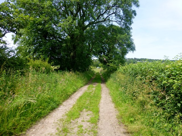
Image: © Rude Health Taken: 8 Jul 2013
This bridleway is to the west of the Spade Mill Reservoir. It runs in a NNW direction from the B6243 road,
Images are licensed for reuse under creativecommons.org/licenses/by-sa/2.0
Image Location
Latitude
53.830797
Longitude
-2.585985