Field at Mains of Ludquharn
Introduction
The photograph on this page of Field at Mains of Ludquharn by Ken Fitlike as part of the Geograph project.
The Geograph project started in 2005 with the aim of publishing, organising and preserving representative images for every square kilometre of Great Britain, Ireland and the Isle of Man.

There are currently over 7.5m images from over 14,400 individuals and you can help contribute to the project by visiting https://www.geograph.org.uk
Field at Mains of Ludquharn
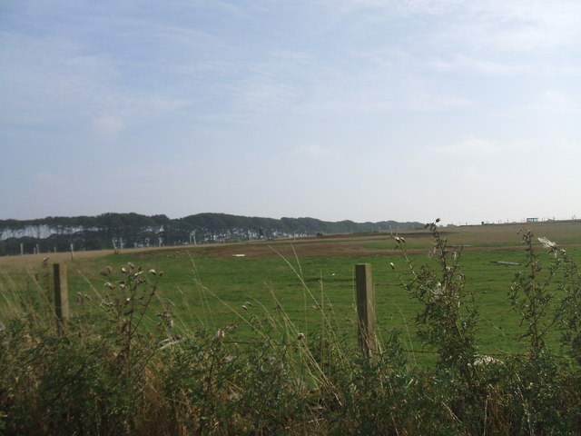
Image: © Ken Fitlike Taken: 17 Sep 2006
doubles up between sheep grazing and an off-road quad bike trail at week-ends
Images are licensed for reuse under creativecommons.org/licenses/by-sa/2.0
Image Location
Latitude
57.495924
Longitude
-1.941426