Terraced housing, Teviotside Terrace
Introduction
The photograph on this page of Terraced housing, Teviotside Terrace by kim traynor as part of the Geograph project.
The Geograph project started in 2005 with the aim of publishing, organising and preserving representative images for every square kilometre of Great Britain, Ireland and the Isle of Man.

There are currently over 7.5m images from over 14,400 individuals and you can help contribute to the project by visiting https://www.geograph.org.uk
Terraced housing, Teviotside Terrace
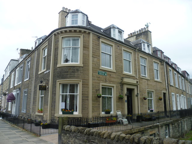
Image: © kim traynor Taken: 25 Jun 2013
An impressive terrace where North Bridge Street on the left turns into Teviotside Terrace on the right. This must have one of the posh parts of Hawick in the nineteenth century.
Images are licensed for reuse under creativecommons.org/licenses/by-sa/2.0
Image Location
Latitude
55.42692
Longitude
-2.78463