Moorland on Headon Down
Introduction
The photograph on this page of Moorland on Headon Down by Derek Harper as part of the Geograph project.
The Geograph project started in 2005 with the aim of publishing, organising and preserving representative images for every square kilometre of Great Britain, Ireland and the Isle of Man.

There are currently over 7.5m images from over 14,400 individuals and you can help contribute to the project by visiting https://www.geograph.org.uk
Moorland on Headon Down
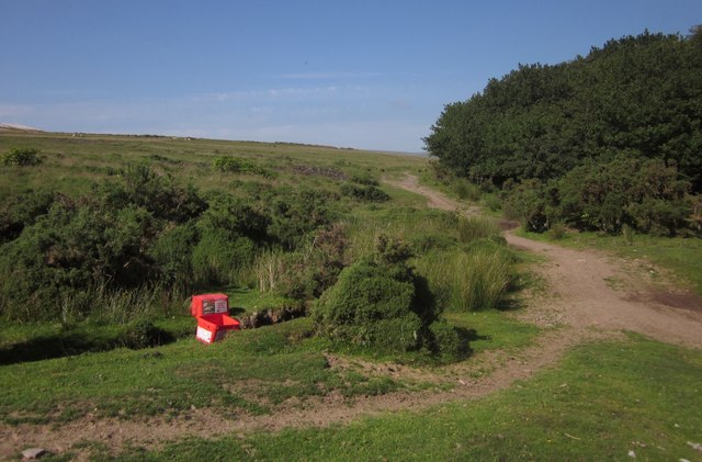
Image: © Derek Harper Taken: 5 Jul 2013
The moorland edge above Headon Gate. At upper left is the edge of a clay waste tip at Headon China Clay Works. The red boxes are for Crystalyx Extra High Energy, a molasses lick block for sheep. Having walked by a circuituous route from Lee Mill, I could quite do with some of that.
Images are licensed for reuse under creativecommons.org/licenses/by-sa/2.0
Image Location


Leaflet Map data © OpenStreetMap
Latitude
50.416595
Longitude
-3.991352