Wall near Almshouse Bridge
Introduction
The photograph on this page of Wall near Almshouse Bridge by Derek Harper as part of the Geograph project.
The Geograph project started in 2005 with the aim of publishing, organising and preserving representative images for every square kilometre of Great Britain, Ireland and the Isle of Man.

There are currently over 7.5m images from over 14,400 individuals and you can help contribute to the project by visiting https://www.geograph.org.uk
Wall near Almshouse Bridge
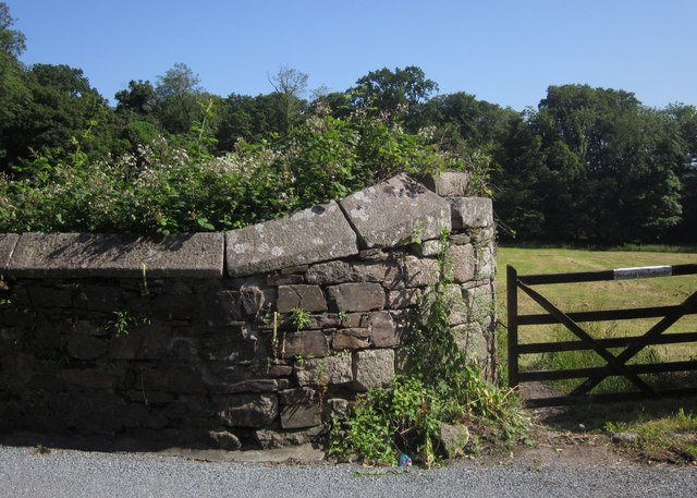
Image: © Derek Harper Taken: 5 Jul 2013
Rather striking masonry (repeated on the other side of the gateway). Across the field is Goodabrook Wood (the sign on the gate says "private woodlands").
Images are licensed for reuse under creativecommons.org/licenses/by-sa/2.0
Image Location
Latitude
50.419122
Longitude
-3.974988